Haywood County

Click here to access county information for western North Carolina.

Cities/Towns: Canton - Clyde - Cove Creek - Crabtree - Cruso - Dellwood - Hazelwood - Lake Junaluska - Maggie Valley - Mount Sterling - Sauhook - Springdale - Sunburst - Waterville - Waterville Lake - Waynesville* - Woodrow

Unique places: Balsam Mountains - Blue Ridge Parkway - Canton's Colonial Theatre - Cataloochee Ski Area - Carolina Nights Dinner Theatre - Cold Mountain - Elk Watching - Festivals - Haywood Community College - Lake Junaluska - Lake Junaluska Conference and Retreat Center - Maggie Valley - Mt. Sterling - Nantahala National Forest - Nantahala River Gorge - Festivals - Shook Museum - Smoky Mountain National Park - Waterfalls

Local Newspaper (s) - (Community News) - The Mountaineer, The Smoky Mountain News

Discover information about the area you want to visit.  Then click on Campgrounds and RV Parks. Carolina.

Search for more details using Google's standard search engine.

Search for more details using Yahoo!'s All the Web basic search engine.

Click on an area in western North Carolina to visit online related camp grounds and RV parks.  Make reservations and see photos.
Western North Carolina Area Info Mountain Activities Campgrounds


View of Cold Mountain, Shining Rock Wilderness - Webcam
Compliments - Webcam
Cold Mountain Webcam


A consummate collection of over 250 rare antique American Motorcycles and Automobiles. Equally as astounding is the memorabilia collection that unites the "art of the motorcycle" with the generation of Americans that enjoyed a lifestyle peculiar to the "American Mainstream."
Courtesy Wheels Through Time


A Brief History of the Formation of Haywood County

Source: Haywood County History

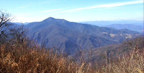
One significant troop movement during the American Revolution set the destiny of this county and the generations that would claim it. That movement, the march of Gen Griffith Rutherford and his 2,400 troops against the Cherokee, introduced future settlers to the beauty of the Appalachian Mountains. Many of those men returned to settle this region after the Revolution – the region became Haywood County.

At the end of the Revolution, the boundary line of Cherokee territory was along the Blue Ridge. In 1783, a treaty placed the boundary along the Pigeon River, opening a part of Haywood County to settlement. Meanwhile, Congress had agreed that soldiers and officers who had served to the end of the war would receive land. Those granted land began to arrive in 1785. In 1796, a land grant to David Allison for 250,240 acres included much of what is now Haywood County. Another land speculator of that period was Robert Love who, with his brother Thomas, began amassing their own land fortunes in this region and west into Tennessee.

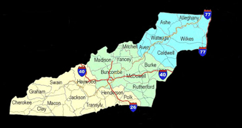
Haywood County was officially separated from Buncombe through a bill introduced by Gen. Thomas Love in 1808 and the new county of Haywood became a reality in March of 1809. The County was named in honor of the state treasurer, John Haywood, who ironically never lived in or visited the region.

In 1834, Robert Love purchased another significant land holding – the remaining portion of the Allison land grant. Continuing his father’s land speculation, James Robert Love had accumulated a total of 375,000 acres by 1865. To put this in perspective, consider that Haywood County today contains about 345,560 acres. That’s about 30,000 acres less than a single family’s total holdings 140 years ago.


| WNC Outdoors | WNC Waterfalls |


Return to County Map of Western North Carolina

* County Seat


"Freedom is Knowledge"